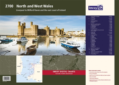
This fully revised edition of 2700 North and West Wales chart pack consists of 13 chart sheets. It includes the latest official UKHO data, combined with additional information sourced from Imray's network to make it ideal for small craft. The chart pack includes all the navigational charts required for passage, approach, and mooring, and is designed to be used with the Irish Sea Pilot by David Rainsbury and Cruising Anglesey and adjoining water by Ralph Morris, both published by Imray. This pack is also available wirobound, please see stock code IC2700-3W.
2700.1 Liverpool Bay to Anglesey 1: 280 000 WGS 84 Plan Holyhead (1:27 500) 2700.2 Liverpool Bay 1: 145 000 WGS 84 Plan Liverpool (1:40 000) 2700.3 Anglesey and Menai 1: 145 000 WGS 84 Plans Conwy Bay (1:60 000), Conwy (1:30 000) 2700.4 Menai Strait and The Swellies 1: 70 000 WGS 84 Plans Bangor and Beaumaris (1:35 000), The Swellies (1:15 000), Port Dinorwic (1:15 000), Caernarfon (1:15 000), Llanddwyn Island (1:25 000) 2700.5 Southern Anglesey and Lleyn Peninsula 1: 145 000 WGS 84 Plan Porth Dinllaen (1:17 500) 2700.6 Cardigan Bay 1: 145 000 WGS 84 2700.7 Tremadog Bay 1: 80 000 WGS 84 2700.8 Cardigan Bay Plans 1: various WGS 84 Plans Abersoch (1:25 000), Pwllheli (1:12 500), Porthmadog (1:10 000), Mochras Lagoon (1:15 000), Barmouth (1:25 000), Aberdovey (1:25 000), Aberystwyth (1:18 000), Aberaeron (1:17 500), New Quay (1:20 000), Aberporth (1:30 000), Cardigan (1:40 000), Newport Bay (1:35 000), Fishguard (1:18 000) 2700.9 Aberaeron to St David's 1: 155 000 WGS 84 2700.10 Dublin Bay to Anglesey 1: 280 000 WGS 84 Plan Dublin Bay (1:90 000) 2700.11 Cardigan Bay to South East of Ireland 1: 300 000 WGS 84 2700.12 St George's Channel 1: 280 000 WGS 84 Plan Kilmore Quay (1:25 000)