Explore the breathtaking landscapes of Loch Lomond and The Trossachs National Park, Scotlands first national park and a gateway to the Southern Highlands. From the tranquil shores of Loch Lomond and ancient oakwoods to rugged Munro summits, sweeping ridgelines and dramatic glens, the region offers some of the most varied and accessible walking in Scotland.
This third edition of Walking Loch Lomond and the Trossachs is the definitive guidebook to 43 routes across the national park, ranging from gentle loch-side circuits to demanding mountain ascents, including all 21 Munros in the area. With detailed route descriptions, clear 1:50,000 OS mapping and downloadable GPX files, it provides the practical information and planning support needed for walkers of all abilities to explore with confidence.
Routes range from 3 to 26km (216 miles), including all 21 Munro summits in the Loch Lomond and Trossachs region for those looking to bag Scotland's mountains Clear 1:50,000 OS maps and downloadable GPX files accompany each route, making navigation straightforward across varied terrain from loch-side trails to high ridges Practical information on public transport, access and parking is provided for each walk, with easy connections from Edinburgh and Glasgow, enabling flexible planning without a car Highlights of the routes include classic ascents such as Ben Lomond, Ben Lui, The Cobbler and the hills of the Arrochar Alps, as well as peaceful loch-shore rambles and scenic woodland paths Background on Loch Lomond and the Trossachs National Parks history, wildlife, geology, and conservation ensures you are informed about the landscape and prepared for your walk
Walk through towering hills, past shimmering lochs and ancient oakwoods, and savour the rich natural and cultural heritage of Scotlands first national park. Whether you seek easier loch-side strolls or high mountain summits with dramatic views,
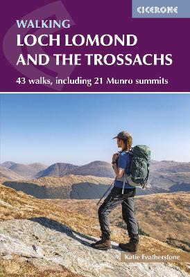
Walking Loch Lomond and the Trossachs
equips you with the insight and tools to plan, explore and enjoy the remarkable walking experiences that make this region a favourite destination for hikers of all abilities.