Discover where events in the Old and New Testaments took place and see how people lived in Biblical times in this illustrated guide.
Take a trip around the Holy Land with this collection of beautifully drawn maps, which show where events from the Bible took place.
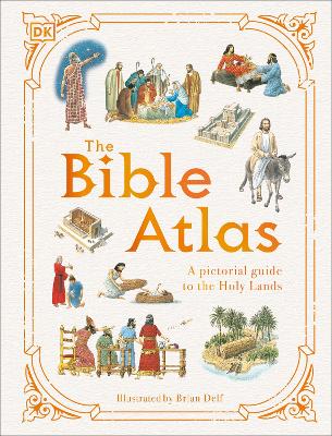
Introducing The Bible Atlas a beautifully illustrated guide to the geography, events and people of the Old and New Testaments for children aged 9-12. In illustrated guide, follow the journeys of the patriarchs, view inside Solomon's Temple, witness Jesus' miracles, and see exactly where Paul travelled while spreading the message of Christianity.
Dive straight into this pictorial Bible guide for kids, offering:
- An illustrated guide to key events of the Old and New Testaments for children. - A variety of maps showing in detail where events from the Bible took place. - An original and retro-feel illustration style combined with modern fonts, which creates a different approach compared to photographic or CGI-based books.
As well as recapping many of the stories from both the Old and New Testaments, each page in this Bible guide provides additional information, illustrations, and photos explaining how people lived, who ruled the lands, and what places look like today. The information is presented in a visual and accessible way for children to grasp, immersing themselves in each map as they follow the stories and read summaries from the Bible.
At DK, we believe in the power of discovery.
So why stop there?
If you like The Bible Atlas, then why not complete the collection? Take a peek inside the beautiful and absorbing world of birds with The Bird Atlas, explore the complex animal kingdom with The Animal Atlas, reveal the inner workings of the human body with The Body Atlas, take a trip around the globe with The Earth Atlas, and dive deep below the sea with The Oceans Atlas.

 Lisainfo e-raamatute kohta